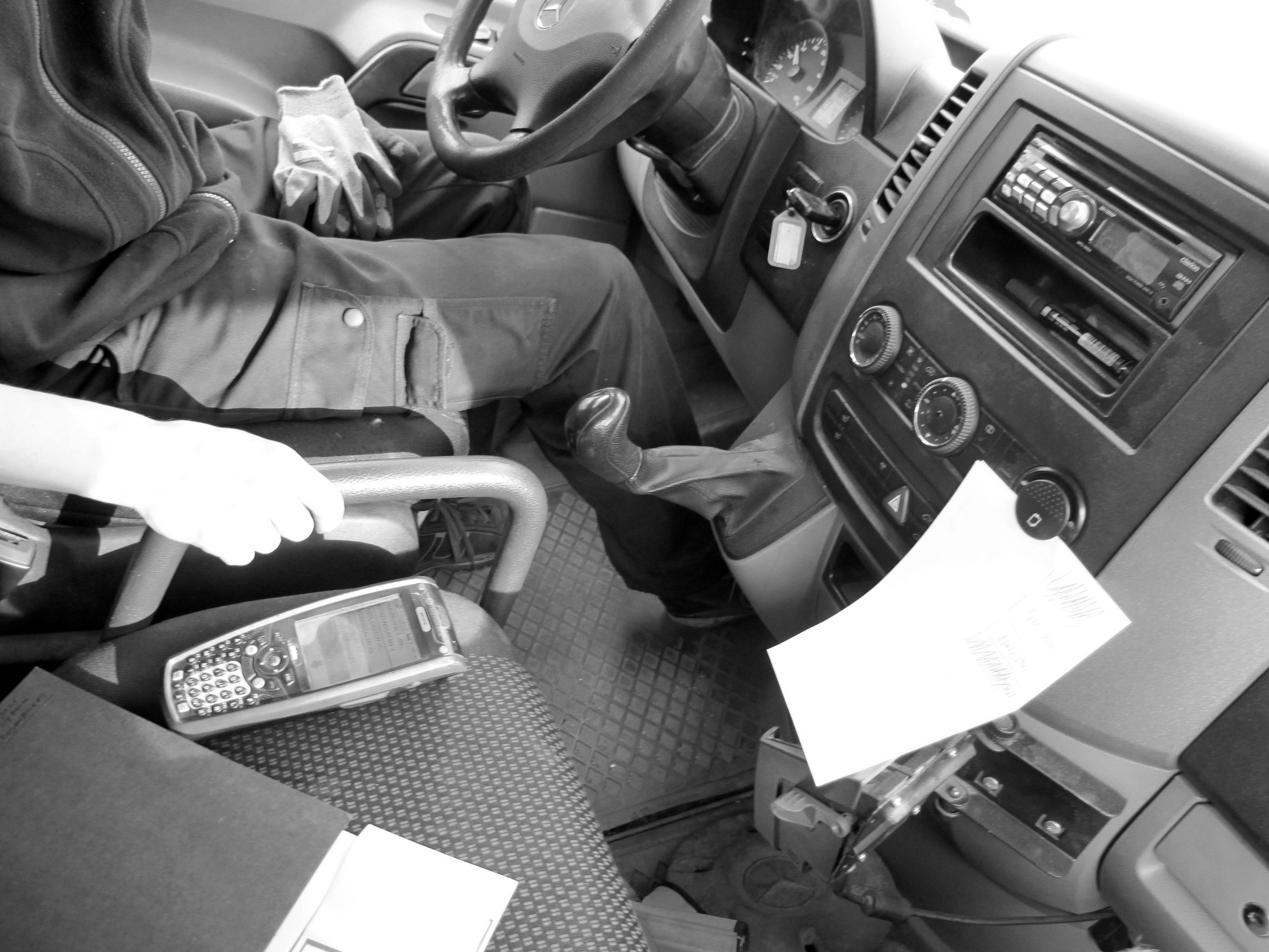
"Delivery man" is an early attempt to integrate 'augmentation' techniques – a tactic to enable object and systems to generate data that normally don't produce — with 'shadowing' practices. A camera was installed in the back of the van to capture the changing load of the trunk and its constant latent capacity, while a GPS was recorded locations and delivery paths.

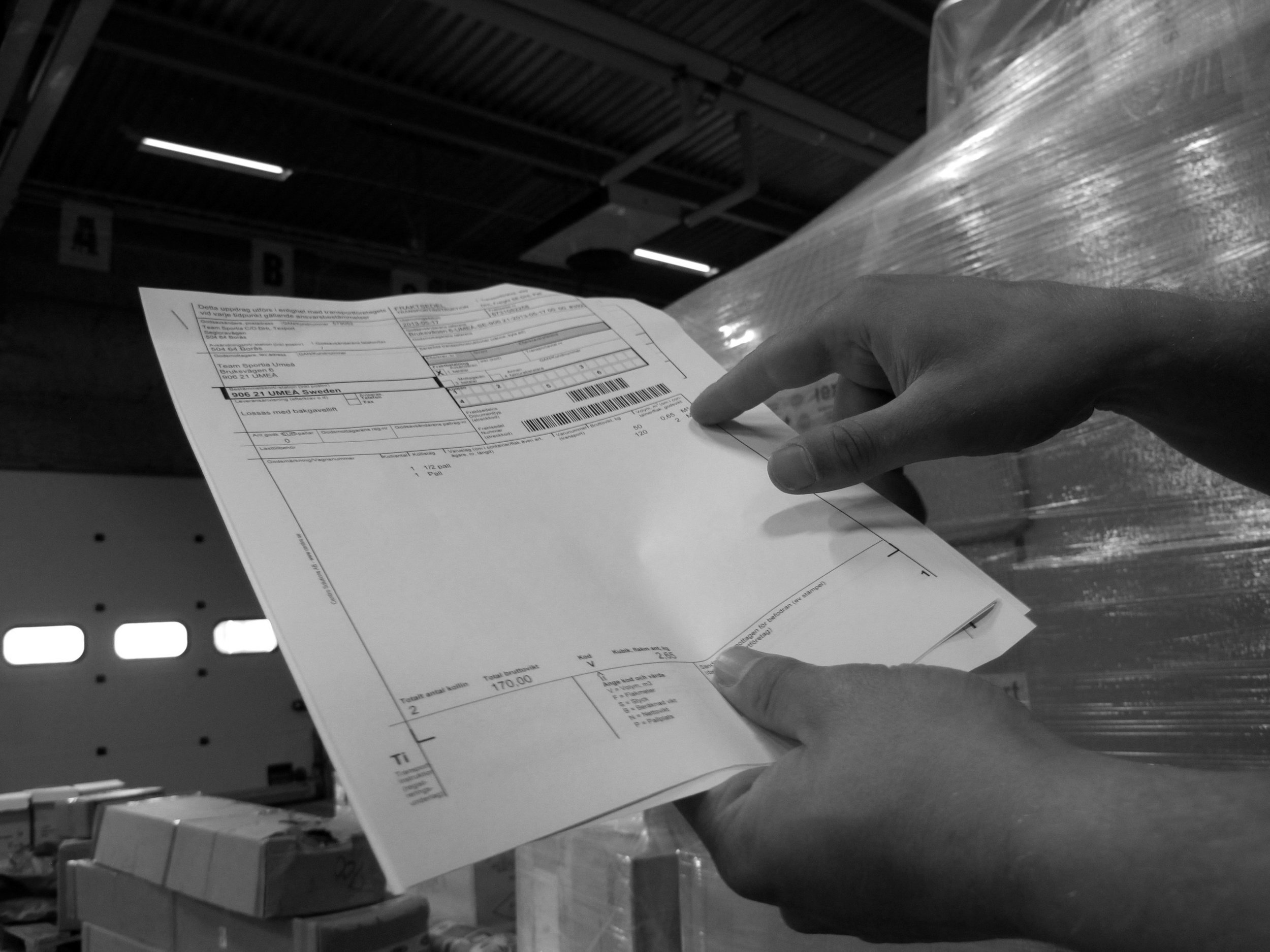
Load and internal organisation in the trunk change during the day, according the pick up or delivery activities as defined by the driver according to his needs. Deliveries do not strictly follow the order given by the IT and GPS systems employed by the delivery company, as they lack the required contextual awareness. As such distribution plans are constantly re-arranged by hand according to the driver experience and knowledge of the city.

What if we could make use of this information by open it up? Could we make the latent capacity of delivery vans often running every day half empty in our cities available for general use ? What if these routes would be shared in advance, as logistic lines similar to those of the subways maps we use every day in big cities? These are some of the hypotheses that I started to investigate with Sebastian, my "colleague" for a day.